
I’m excited to announce a new partnership with Granite, an offline 3D mapping app for the avid outdoor adventurers. After FATMAP’s downfall, I was searching high and wide for high-definition 3D satellite imagery to navigate those ultra-crevassed glaciers. Granite reached out before their launch, looking for “Verified Experts” to publish routes on their platform. Little did I know, this would be a perfect partnership. Not only does the Granite mapping app provide the much-needed summer and winter satellite imagery, it also displays topographic maps, post-processed terrain layers, trip reports and guidebooks posted by ACMG guides. It’s a polished, one-stop-shop solution to my mapping needs.
Where’s Granite From?
Granite is actively being developed in one of Canada’s cherished mountain sports capitals, Squamish, BC. Software developers Esteban and Gabrielle are working tirelessly to improve Granite’s offering. It’s a pleasure to support a local initiative that focuses on building a strong community of outdoor enthusiasts. Here’s what they have to say:
Made in Squamish — We are climbers, skiers, and hikers building the platform we want for our own days in the mountains. Accurate maps, useful reports, and a community that keeps knowledge where it belongs, with the people who live it.
Why Granite?
Who’s tired of juggling multiple apps, all at once, to plan your outings? One app for satellite imagery, another for topo maps and a thick brick for route descriptions. It’s exhausting! In the past, I was jumping between Gaia GPS, FATMAP, Google Earth and CalTopo. Granite solved my problem by combining all this data into one app. They even partnered with Avalanche Canada to include their avalanche bulletins. It’s so darn convenient.
What About Their Features
From the outset, Granite was launched with a ton of exciting new features that work flawlessly. They’ve also been great to work with, keeping us posted on upcoming features. The founders are updating the app monthly. You can track their progress and vote on new features using their official roadmap.
Current Features:
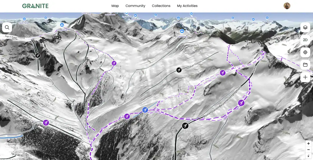
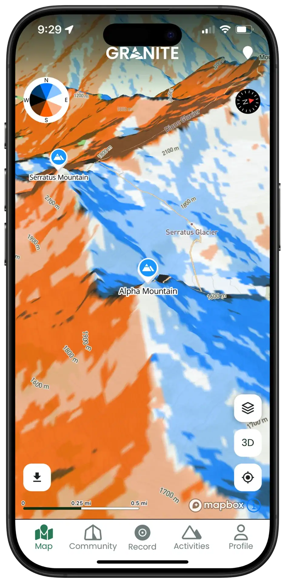
- 3D offline maps, including summer and winter satellite basemaps, as well as topographic maps
- Advanced terrain overlays (avalanche Slope, aspect, flat terrain, ski lines, forest service road status, private and personal heatmap)
- Avalanche Canada bulletins
- Strava & Garmin integration (mountain stats, private activity history)
- Trip reports (mountain conditions, high-quality photos, clear route details)
- Digital guidebook published by Verified Experts (such as The Uptrack)
In the coming months, they plan on expanding their winter satellite imagery and community content with active trip reports and trail conditions. They’ll be adding more features such as an advanced folder library to organize your routes, batch route import and weather layers. Honestly, I’m thrilled to see such a dedicated team working hard to make Granite the best 3D mapping app on the market! You can download the app on Google Play or the App Store (Apple).
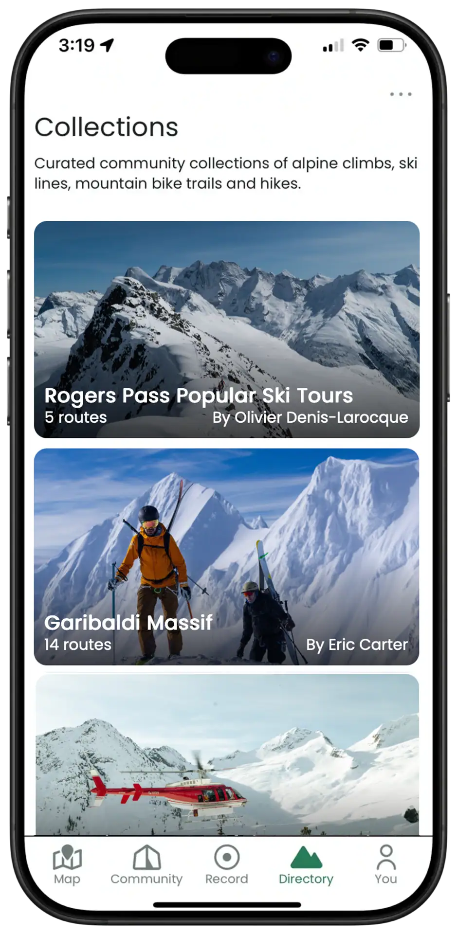
What’s The Master Plan?
I’ll be duplicating the ski touring and mountaineering routes posted on The Uptrack, offering an abbreviated yet insightful version on Granite. The Revelstoke-based content will then be organized in regional collections (guidebooks) to accommodate Revelstoke’s expansive ski touring network. You’ll be able to browse a route on Granite, refer to it in the backcountry, and follow its link back to The Uptrack for the extensive trip report, including additional terrain photos and ski photography. To get you guys invested in the app, Granite is offering a 1-month free trial for visitors of The Uptrack.